
Ankeny Neighbor Records by Block
Start by choosing what nearby means. A lot that shares a boundary is an adjacent parcel. A same-block address may sit across a road. A subdivision follows a recorded plat, while an association can have its own voluntary boundary. Polk County and Ankeny sources describe these groups in different ways, so no single record gives a complete list of Ankeny neighbors.
| Source | What It Shows About a Block | Access |
|---|---|---|
| Polk GIS parcel layer | Adjacent lots, roads, subdivisions, and map layers | Public map; verify live attributes |
| Polk Assessor range search | Tax parcels and owner leads in a number range | Public property form |
| Recorder deeds and plats | Lot identity, replats, easements, and transfers | eSearch from 1992; older books and microfilm |
| City and annexation maps | Limits, service areas, and annexation history | Public city maps and documents |
| Civic associations | Public contacts, events, and stated boundaries | Self-published; no verified household roster |
The assessor identifies a tax interest, not every occupant. A deed records a property event. A map identifies location. Association pages show public civic roles, not all households. Keep those labels intact, especially when an owner is an estate, trust, company, or person whose mailing address differs from the parcel.
Define Nearby in Ankeny
A block search can be drawn four ways. Parcel adjacency finds lots that touch. A street-number range finds addresses along one segment. A plat groups parcels in the same recorded subdivision. An association adds a social layer that may cross street or plat lines. Pick one before searching.
For a tight view, begin with the subject parcel and lots beside, behind, and across from it. For a civic question, note the subdivision and compare it with association or city planning pages. Do not infer membership from geography. Siena Hills, Uptown Ankeny, Fountain View Estates, and groups listed by the Chamber each publish their own scope.
Historical neighbors need another definition. A criss-cross directory, when available, groups entries by street and house number. Old plats and directories may use labels that predate current Ankeny limits or addressing. Date the map and address before treating sources as the same block.
Note: ZIP codes, school districts, subdivisions, precincts, and city limits can overlap without describing the same neighbors.
Map Ankeny Neighbors by Parcel
The Polk County GIS viewer is the location layer. Official descriptions identify address and parcel-point search, subdivision lookup, tax parcels, roads, corporate limits, political boundaries, aerial imagery, and other layers. The live viewer did not expose a stable widget list during research, so confirm current controls and popup fields on the map.
- Search the starting address and confirm its parcel, road, and subdivision.
- Identify lots that touch it and those across the road. Record each parcel number.
- Open each identifier in the Polk Assessor search for the tax-purpose owner and mailing address.
- Compare situs and mailing addresses. Treat owner-occupancy indicators as leads, not proof.
- Add deeds, plats, or dated city maps only when the question needs that layer.
This flow stays on the immediate block. A full named-road search belongs in the Ankeny street directory, where ranges and deeds can be followed farther. County map data can change, so verify a boundary used in a formal request.
Search Ankeny Address Ranges
The legacy assessor form accepts a full or partial street. It documents a range entered with two house numbers separated by a colon or two periods. A unit suffix may be entered as #, Suite, Ste, Unit, Apartment, or Apt. Percent and underscore signs work as street wildcards.
Range results help check a short block face, but they represent parcels and taxpayers. One apartment parcel can contain many units. A corner lot can face a different street than its legal or mailing record suggests. Record parcel IDs first, then review each result instead of turning tax names into a household list.
| Assessor Field | Use on the Block |
|---|---|
| Street Address | Full or partial street, without city, state, or ZIP |
| Address range | House-number span with colon or double-period syntax |
| Unit suffix | Refines a known suite, unit, or apartment |
| Plat | Groups parcels by legal subdivision |
| Parcel | Confirms one mapped tax parcel |
Polk County announced a 2026 transition from its in-house assessor site to Vanguard Appraisals while preserving property search. If the old address changes, enter through the official county site rather than a saved bookmark.
Ankeny Civic Contacts, Not Rosters
No official citywide list of neighborhood associations or member addresses was found. These public pages identify a board, event, district mission, or business network. None was verified as a household roll.
Uptown Ankeny
The Uptown association promotes the historic district and original neighborhood. Its pages include a board, business directory, events, and contact at 601 SW 3rd Street.
Siena Hills HOA
The Siena Hills site says it has more than 140 paying members and gives board contacts. That count reflects voluntary membership, not every home.
Fountain View Estates
The Fountain View page publishes volunteer board, event, and post-office-box details. It is not a verified resident directory.
Ankeny Chamber
The Chamber associations directory lists public groups, including Uptown and the Ankeny Alumni Association. Use it to find groups, not infer members.
The City Clerk image below shows a different public directory: city contacts responsible for records and civic business.
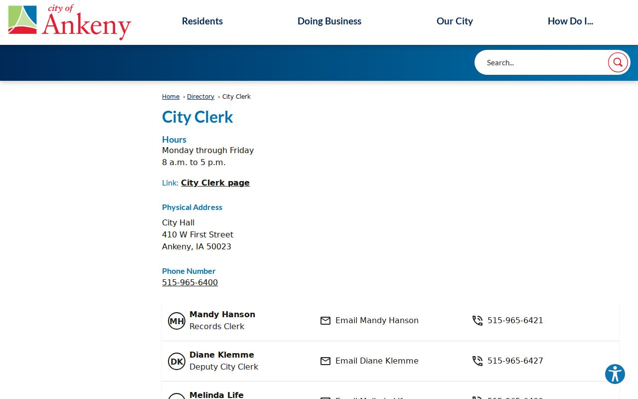
The staff listing is an office-contact source, not a neighborhood roll. It helps route a city archive, permit, or boundary request.
Ankeny Annexation Splits Nearby Records
Ankeny's official maps page warns that an Ankeny mailing address does not necessarily place a parcel inside city limits. Two nearby properties can share a postal city while having different services, permit offices, voting history, or zoning records.
The Ankeny Annexation FAQ says annexation can shift an address to the city street grid for 911, change services and voting, and change which office handles permits. School boundaries stay independent. The city describes voluntary, 80/20, and involuntary annexation. Its 2015 to 2024 Big Picture map supplies dated context.
Compare the parcel, corporate-limit layer, annexation map, precinct map, and address date before saying two parcels share the same civic neighborhood. This local quirk explains why an old county file may not appear in a new city permit search.
Note: Treat annexation as a dated records change, not proof that each old label matches today's Ankeny map.
Ankeny Voter Records Stay Narrow
Iowa's public voter lookup asks for first name, last name, and ZIP code. It confirms registration and polling-place information for one person. It has no street field and cannot browse everyone around an Ankeny address. That design makes it unsuitable as a public neighbors roster.
A fuller voter-file request exists through the Secretary of State, but Iowa Code sections 48A.38 and 48A.39 restrict purpose and use. The form asks for file type, format, requester identity, certification, and payment. Safe at Home can also substitute or protect an eligible participant's address.
For a boundary question, request an existing precinct map or dated election record. For one known person, use the Iowa voter lookup. Neither route should become an inferred household list.
Compare Ankeny Neighbor Sources
Commercial neighbor tools may merge old addresses, phone listings, and other data without showing when each item was collected. Official records are narrower, but they identify the custodian, role, and date. Use the original source whenever a conclusion matters.
| Choice | Strength | Limit |
|---|---|---|
| Parcel and deed records | Dated property evidence from a custodian | Ownership or filing, not every resident |
| Maps and civic pages | Boundary, parcel, office, and group context | No complete household membership |
| Commercial category | May combine several leads | Dates, roles, and accuracy may be unclear |
For a wrong public record, contact its office. For a commercial listing, use the provider's correction or opt-out route. The Iowa Attorney General publishes consumer resources for deceptive or unsafe data practices.
Respect Ankeny Neighbor Privacy
Public records do not create a right to watch a household. Utility customer data, delivery data, library patron records, and private association membership are not public neighbor directories. The property roll may omit occupants who do not own the parcel. Iowa Safe at Home can protect an eligible survivor through a substitute address and confidential voter handling.
Report only what each source proves. Say tax owner when the assessor says owner. Say registered voter only after a valid one-person lookup. Say public board contact when an association publishes a name. Never fill a missing field with a guess based on proximity, surname, age, or social media.
Records can be stale. Recheck the custodian and record its date before using a result for family contact, civic participation, scam avoidance, or personal safety. If someone has asked not to be contacted, honor that request.
A missing name is not evidence that a home is vacant. The parcel may be held by a trust or business, an occupant may not own the lot, or a protected address may be used. Multi-unit sites also need care because the assessor can describe one parcel while many separate households live there. Keep those limits with any notes or saved screenshots. When the purpose is a city service, boundary, or neighborhood project, contact the public office or association directly instead of trying to identify every person nearby.
Lawful use. Use Ankeny neighbor records for civic curiosity, reconnection, and personal safety awareness. Never use them to stalk, harass, intimidate, or harm anyone.