
Ankeny ZIP Code Coverage
Official city facilities establish two delivery ZIPs in Ankeny's service footprint: 50021 and 50023. They do not create two clean municipal halves. City Hall, Kirkendall Library, Fire Station 1, and the USPS Connect site supply 50023 examples. Fire Stations 2 and 3 and Heritage Park supply 50021 examples. The table keeps those observations distinct from an unverified boundary claim.
| ZIP Code | Areas Covered | Post Office | Notes |
|---|---|---|---|
| 50021 | Observed southeast and northeast sites, including Oralabor, NE 36th, and Heritage Park | USPS lists Ankeny, IA | Verify each address; no official street-by-street polygon was found |
| 50023 | Observed central and west sites, including City Hall, library, and Fire Station 1 | USPS lists Ankeny, IA | A mailing city does not prove city-limit status |
| 50024 | Nearby Berwick context, not verified as serving Ankeny | Check one address with USPS | Use as a negative control |
| 50226 | Nearby Polk City context, not verified as serving Ankeny | Check one address with USPS | Do not place it in Ankeny without an address match |
No official source reviewed published a complete current 50021 and 50023 street boundary, a local split date, or a special Ankeny-only ZIP. That absence matters. The Ankeny ZIP code directory should not turn a few official addresses into a hard line. Instead, use USPS for a known address and the city map for municipal status.
Verify Ankeny ZIP With USPS
The USPS ZIP Code Lookup is the right source for one delivery address. Enter the street, city, and state, then preserve the standardized form that USPS returns. The postal city describes a delivery unit. It does not certify that the parcel is incorporated into Ankeny, served by an Ankeny school, or governed by city permit rules.
- Copy the full street address, including the Ankeny directional prefix and unit.
- Run the address in USPS and record the standardized ZIP and ZIP+4.
- Check the parcel in Polk County GIS or the Auditor Atlas.
- Compare the parcel with Ankeny's current city-limit and annexation maps.
A missing NW, NE, SW, or SE can point to a different road or parcel. Preserve every directional and unit field before using the Ankeny ZIP code directory to narrow other searches.
Note: USPS confirms delivery data for one address; it does not publish the municipal status needed for voting, services, zoning, or permits.
Read Ankeny ZIP Landmarks
Local official addresses help orient a search without pretending to map the full postal line. Fire Station 1 at 120 NW Ash uses 50023. Fire Station 2 at 665 SE Oralabor and Fire Station 3 at 1360 NE 36th use 50021. Heritage Park at 300 NE Frisk Drive also uses 50021. City Hall and Kirkendall Library use 50023.
The city facility examples show that 50021 occurs in eastern and southeastern contexts, while 50023 appears in central or western examples. They are reference points only. Subdivision plats, annexations, and delivery routes are better evidence for a specific property than a broad east-west rule.
Ankeny's library says its resident Adventure Pass applies to people in 50021 and 50023. A strategic-plan survey also drew most replies from those two ZIPs, but that voluntary survey is not a population count or boundary survey. Treat program eligibility and survey data as evidence of service use, not proof of where every resident lives.
Find Ankeny Residents by ZIP
Only some official portals accept ZIP as an input. The Iowa voter lookup requires one, but it returns registration and polling-place information for a named person, not every voter in that area. The Iowa Professional Licensing Bureau can filter a named or licensed search by ZIP. USPS converts one address to delivery data. The inspected Polk Assessor, GIS, and Recorder tools did not offer a verified ZIP-wide resident roster.
- Verify the address and five-digit ZIP with USPS.
- Search the Iowa voter tool with the person's first name, last name, and ZIP.
- Use a name and ZIP in the professional-license search when a public license is relevant.
- Move to address, owner, parcel, or legal-description fields in Polk County tools.
Once the postal area narrows to a road, the Ankeny street directory provides the proper street-level record chain. ZIP is only the first cut. A parcel number or full situs address is far more precise.
Ankeny ZIP Search Fields
The portal differences prevent a false promise that every database can search 50021 or 50023. The public voter form is the strongest local ZIP-keyed person route. Its required fields and output are narrow by design.
| Official source | ZIP input | What it returns |
|---|---|---|
| Iowa voter lookup | Required, five numeric digits | Registration and polling-place lead for a named person |
| Iowa PLB | Visible filter | Matching public license records, not all residents |
| Polk Assessor | Not on inspected legacy form | Owner, address, parcel, legal, and value searches |
| Polk GIS | No verified ZIP filter | Address, parcel, subdivision, and map context |
| Polk Recorder | No verified ZIP filter | Name, date, index, and legal-document results |
| USPS | Output from one address | Standardized delivery ZIP |
A full voter-list request is separate. Iowa law requires a permitted-purpose certification, and commercial use is barred. The ordinary web form should never be described as a downloadable ZIP directory.
Map Ankeny ZIP Data Carefully
The Census ZCTA boundary files offer a statistical approximation of ZIP geography. A ZCTA is useful for maps and tabulation, but it is not a USPS delivery promise. The Census reference image below shows the type of national geography product used for comparison.
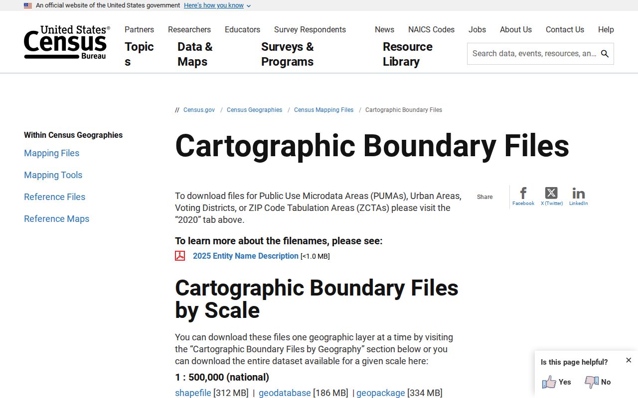
Use a ZCTA to study an area, not to decide whether one Ankeny address receives mail in that ZIP. USPS and parcel records must settle the address-level question.
Precincts are different again. Polk County election maps control voting geography, while parcels carry legal descriptions and tax identifiers. School lines are independent of the city boundary. Combining those layers without naming each one can place a resident in the wrong jurisdiction.
Ankeny Annexation Changes Records
Ankeny's Annexation FAQ explains that annexation can change the addressing grid used for 911, city services, voting, and permit authority. It is a record-conversion event, not just a new map line. An older county permit, precinct, or directory entry may therefore use a different jurisdiction label for the same road.
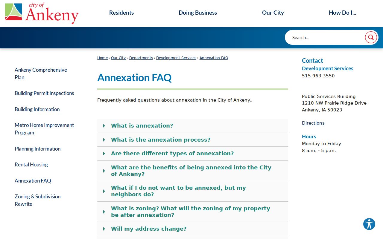
The FAQ supplies context for why one mailing address may not match the current city service record. Pair it with the parcel legal description and the record date.
No verified historical ZIP split or house-renumbering year was found for Ankeny. For an old address, use directory street guides, plats, deed books, historical maps, and dated annexation files. Never invent a conversion date to bridge a gap.
Ankeny ZIP Records Keep Changing
Ankeny's rapid growth helps explain why postal, parcel, permit, and directory records may disagree by date. The 2020 Census counted 67,887 people, while the July 1, 2025 estimate was 77,833. The 2010 count was 45,582. Those figures describe the incorporated Census place at stated points in time. They are not resident rolls, and they should not be split between 50021 and 50023 without a valid geographic dataset.
New subdivisions enter official systems in stages. A plat creates lots and legal descriptions. The assessor and Auditor then track parcels for tax purposes. City permits and inspection records follow the work under the jurisdiction responsible at that date. USPS assigns delivery data, and voter registration changes when each voter updates a record. One database can therefore lag another without being false.
Plan 2040 was adopted in 2018 and amended in 2019, 2020, 2022, and 2023. Its land-use planning, along with annexation maps from 2015 through 2024, helps date the expansion behind a current Ankeny ZIP result. Use those planning records as context, then return to the parcel and its own dated documents.
Nearby ZIPs are useful error checks. A result in 50024 may point toward Berwick context, while 50226 points toward Polk City context. Neither was verified as part of the Ankeny ZIP code directory. Confirm the exact address through USPS before labeling a person, parcel, business, or event as Ankeny.
Date every result. A current delivery label should not be projected backward onto an older deed, directory entry, precinct map, or county permit without supporting records from that period.
Ankeny ZIP Versus City Limits
The Ankeny maps page gives the clearest local warning: an Ankeny mailing address does not necessarily place property inside city limits. That affects which government supplies services, receives permit applications, assigns a precinct, and keeps a particular record. Two nearby parcels with the same postal code can have different municipal histories.
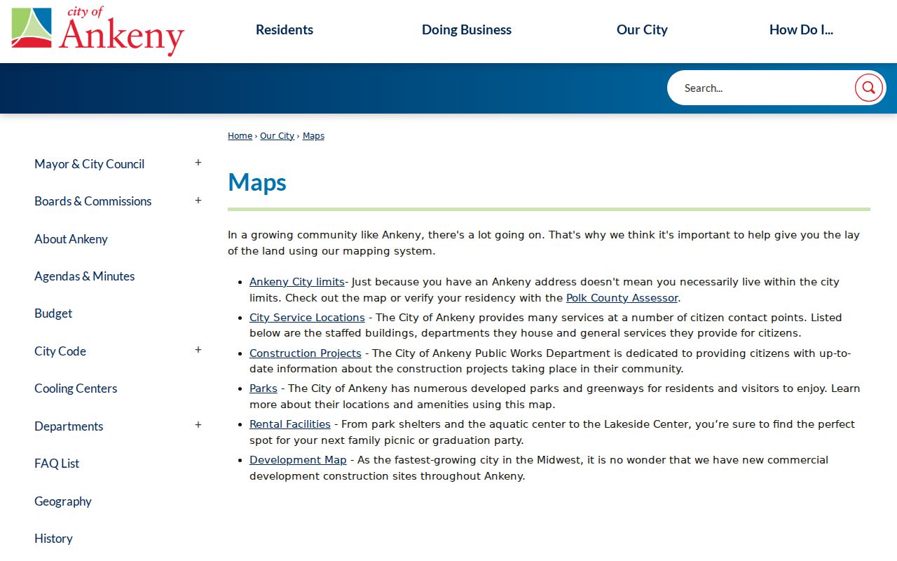
The city map adds jurisdiction context that a mailing label cannot. Compare its date with the parcel, plat, and annexation record before drawing a conclusion.
- ZIP and ZIP+4
- The five-digit ZIP routes mail to an area. ZIP+4 narrows delivery further for a segment, building, or group.
- PO-box ZIP
- A code used for post-office boxes rather than a map of homes.
- Unique ZIP
- A code assigned to one high-volume organization. None was verified for Ankeny.
- Carrier route
- The delivery sequence assigned to a postal carrier, which is not a city or precinct boundary.
Boundary check. Use the Ankeny ZIP code directory for postal narrowing, then verify municipal status with city maps and legal parcel records.