
Ankeny Previous-Resident Sources
An Ankeny address has several timelines. The assessor and Auditor Atlas identify the present tax parcel. Recorder instruments track ownership, plats, easements, and related filings. Historical directories, census schedules, newspapers, and probate files add the people who occupied or were tied to the place. These sources should be joined by date and legal description, not treated as one continuous resident list.
| Source | Years It Covers | Where Held | What It Shows |
|---|---|---|---|
| Polk Recorder real-estate index | 1992 to present online | Polk County Land Records eSearch | Grantors, grantees, instruments, legal descriptions, and recording dates |
| Polk plats and older deed books | Plats from 1846; other series vary | Recorder Imaging/Microfilm and SHSI | Lot identity, prior transfers, plats, and town-lot records |
| Polk and suburban directories | Selected runs from 1866; Ankeny suburban volumes verified for 1996, 1998, 1999, and 2000 | DMPL, Internet Archive, and Iowa Genealogical Society | Named householders, addresses, and occupations where included |
| Federal census | Public schedules through 1950 | NARA and library genealogy databases | Household members, relationships, ages, and residence on the census date |
| Ankeny permits and archives | Varies by file and department | One Stop, Development Services, or City Clerk request | Address-linked projects, plans, dates, and public case records |
For recent previous residents, begin with the current parcel and walk the deed chain back. For an early or mid-century household, establish the old legal lot first, then compare directory years with the nearest census. A deed proves an ownership event. It does not prove that each grantee lived there, and a directory entry can identify an occupant who never owned the land.
Resolve the Ankeny Resident Parcel
Enter the street address in the Polk County Assessor Property Search. The form accepts a full or partial street, a house-number range, owner name, plat, or parcel number. Save the situs address, parcel identifier, owner or taxpayer, and legal plat. Situs means the physical site, while the mailing address is where tax notices go. They can differ.
Next, place that parcel in the Polk County GIS viewer or Auditor Atlas. Parcel outlines, roads, corporate limits, subdivisions, aerials, and other published layers help test whether the modern address matches the same ground shown in an older source. This check matters at Ankeny's changing edge, where a postal city label may not equal the city boundary.
Write down the plat and lot before searching for previous residents. Street wording can change, but a legal description often survives a mailing-address change, a replat, or an annexation. When the roll names a trust, estate, or company, follow the recorded deed rather than assuming that entity represents an occupant.
Note: The assessor is a tax-purpose ownership lead, not a complete list of everyone who lives at the parcel.
Trace Ankeny Residents Through Deeds
The Polk County Recorder explains that its public web index covers real-estate records from 1992 forward. Use the current owner and legal description to find the purchase instrument. The seller on that instrument becomes the next person to search as a prior grantee. Repeat the link to reconstruct ownership before looking for past residents in household sources.
- Copy the current owner, parcel number, plat, lot, and legal description from the assessor record.
- Search the Polk Land Records eSearch for that owner as grantee and match the legal description.
- Read the deed's grantor, recorded date, instrument date, kind, file number, and book/page. Check related plats, easements, and corrected deeds.
- Search that grantor as an earlier grantee. Continue backward, confirming the same legal parcel at every link.
- When the trail crosses 1992, call Imaging/Microfilm or use the State Historical Society's county records.
- Grantor and grantee
- The grantor gives or transfers the interest; the grantee receives it.
- Chain of title
- The linked sequence of recorded transfers for the same parcel.
- Legal description
- The lot, block, plat, or metes-and-bounds identity used in land records, which is more stable than a street label.
The index may also show mortgages, releases, groundwater hazard statements, rights-of-way, and corrected instruments. Those records can explain a gap or changed legal wording, but they do not all transfer ownership. Use the instrument kind and related book/page references before adding a name to the address history.
Ankeny Resident Records Before 1992
The online cutoff is not the start of Ankeny property history. Polk County's certified-date table lists plats from July 8, 1846, while the State Historical Society of Iowa identifies nineteenth-century deed indexes, town-lot records, and original-entry abstracts. The gap is about access format. Modern entries can be searched on the web; older material usually requires a book, image, microfilm, or staff-assisted route.
The Recorder directs pre-1992 real-estate work to Imaging/Microfilm at 515-286-3175. The office is in the Polk County Administration Building, 111 Court Avenue, Suite 250, Des Moines, and is open Monday through Friday, 8:00 a.m. to 4:30 p.m. Give staff the names, legal description, likely date range, and the last known book/page. A narrow request is much easier to answer than a request for every record about an address.
The SHSI Polk County records inventory is the next route for historic deed, plat, probate, and county series. Its table itself needs care: one displayed deed range appears reversed, so verify uncertain cutoffs with the research center.
The official Polk County inventory shown below helps separate a web-search limit from the much older record trail.
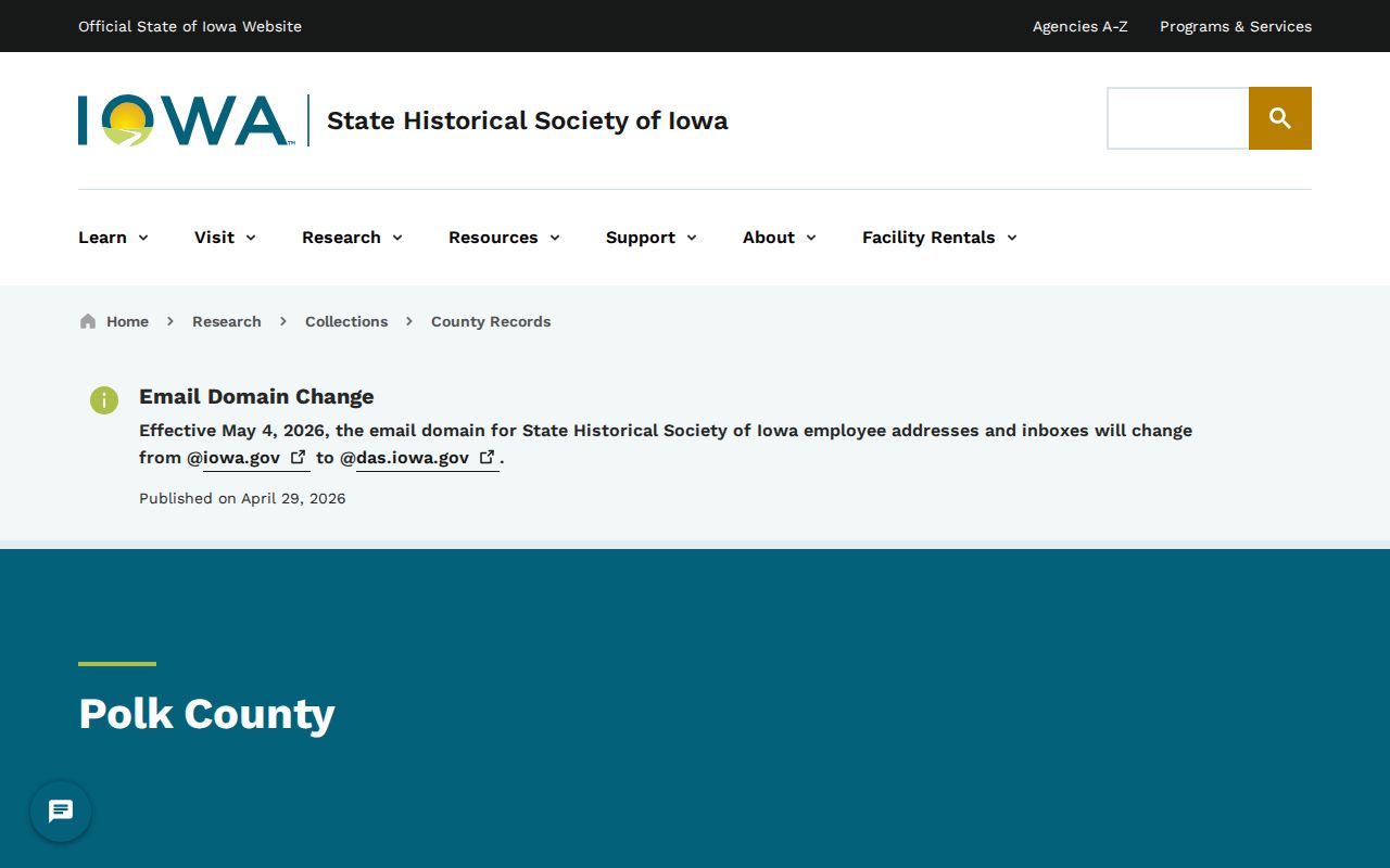
The inventory points researchers toward the county series and formats that can carry an Ankeny parcel past the Recorder's online boundary.
Ankeny Resident History in Plats
A plat is a recorded map that divides land into lots, blocks, streets, and easements. Polk deed examples use names such as Prospect Park, Woodside Estates, Whispering Pines, and Ankeny Industrial Park. Those subdivision names are not street names. They are legal keys that can tie several generations of instruments to the same land.
Replats and corrected plats can change lot wording while the physical place remains recognizable. Compare the current assessor legal description with each deed, then inspect related plat references. A recorded amount, owner name, or Ankeny keyword alone is not enough. Matching the lot, plat, and parcel prevents a same-name property from entering the chain.
This method is also useful when a road acquired city addressing after annexation. The City's annexation guidance says an annexed area can move onto Ankeny's street and 911 grid. The legal parcel and dated plat give previous-resident research a bridge across that change.
Pair Ankeny Resident Directories With Census
Ownership and occupancy often split. Once the parcel is stable, use an address-oriented directory or a named household entry to test who lived there between transfers. The Library of Congress reverse-directory guide explains that criss-cross directories are arranged by street and house number. Exact local reverse-directory year runs were not verified, so ask Des Moines Public Library reference staff about the appropriate microfilm before assuming a volume exists.
The strongest household process is simple: directory address to named householder, named householder to the nearest public census, then census household back to the next directory year. Federal schedules are public through 1950 under the 72-year access rule. Census enumeration districts, which are the small areas assigned to census takers, can help when an old address is hard to index.
- Find the address or householder in the nearest available directory year.
- Check the volume's street guide and city heading, not just an OCR text hit.
- Search the nearest public census for the same person, household, and location.
- Compare the years before and after to estimate when a household arrived or left.
- Confirm the result with a deed, obituary, newspaper item, school source, or probate file.
The LOC guide image illustrates the national method for reverse telephone and street directories.
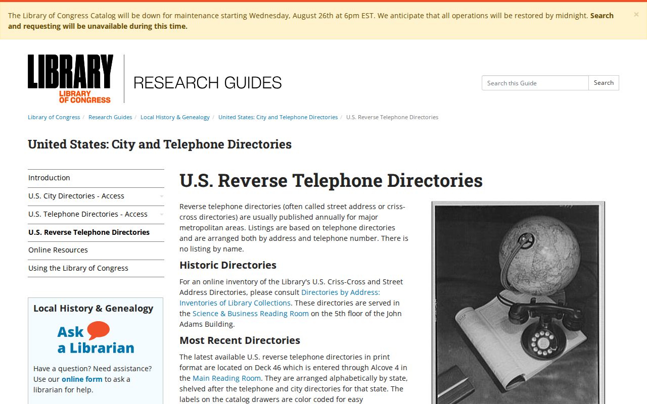
For the local volumes and their publishers, use the Ankeny city directory collection details rather than treating every Polk County scan as an Ankeny household roll.
Local Help for Ankeny Previous Residents
No dedicated official Ankeny house-history guide was found, but several local desks cover different parts of the question. Kirkendall Public Library provides catalog help, in-library Ancestry Library Edition, and cardholder access to HeritageQuest. Its patron records are confidential, so staff can help with sources but cannot reveal who borrowed materials.
The Ankeny Area Historical Society holds newspapers, photographs, oral histories, maps, yearbooks, family histories, and city or county history books. Bring a surname, street, parcel or subdivision, date span, and a specific question. For broader Polk runs, DMPL holds directory microfilm from 1866 to 1935, print directories from 1910 forward, and telephone books from 1957 forward.
SHSI's Des Moines research center adds county microfilm, plat books, probate, court, naturalization, vital records, and maps. Contact the center about appointments and present access. These in-person and reference-request channels matter when an old name is absent from a web index.
Note: A library or archive search works best after the parcel, surname, and date span have been narrowed in official records.
Map Gaps in Ankeny Resident History
Fire-insurance maps can date a building footprint and construction detail, but an exact official Ankeny Sanborn series was not located. The Library of Congress Sanborn search guide is useful for checking the national catalog without implying that every Iowa community has a digitized run.
The national search screen below is a starting point, not proof that a map exists for a specific Ankeny address.
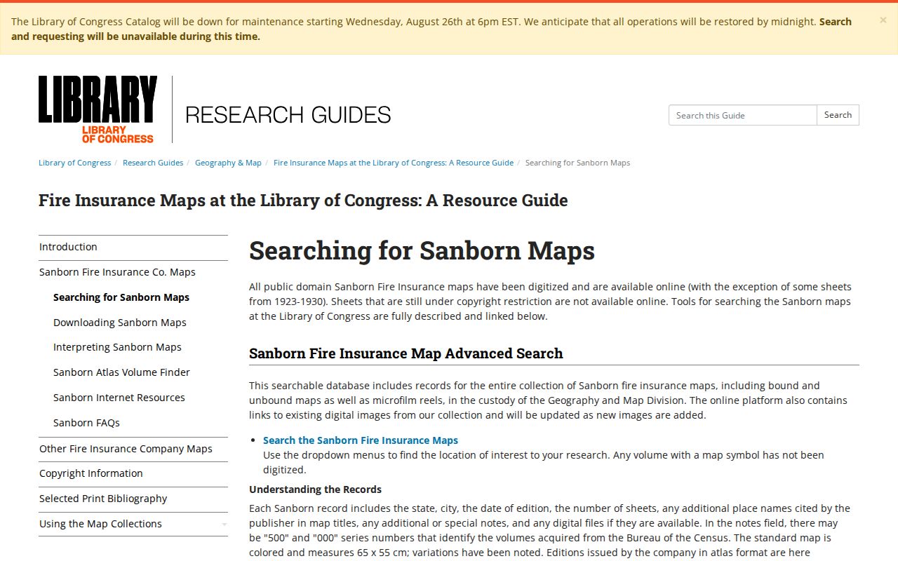
Use verified local substitutes when no map appears: Polk plat books, county aerials, SHSI maps, Historical Society maps, annexation records, and permit files. Ankeny One Stop supports permit applications and tracking, but no public all-years person index was found. Request a specific address, record type, and date range from Development Services or the City Clerk under Iowa Code chapter 22.
Permit records show work tied to a site. They may name an applicant or contractor, but that role is not the same as owner or occupant. Compare permit dates with the deed and directory timeline.
Close an Ankeny Previous-Resident Trail
Obituaries, cemetery records, and probate cases can resolve the last stage of a previous-resident search. An obituary may connect relatives and a former street, but it is a private publication rather than an official resident roll. Iowa Courts Online generally covers public trial-court records after 1998. Older Polk probate and judgment material should be requested from the Clerk or SHSI.
Ankeny Historical Society material identifies Enterprise Cemetery, Greenwood Friends Cemetery, and Ankeny Memorial Gardens as local leads. Its history places Enterprise Cemetery near a coal-mining community and dates Ankeny Memorial Gardens' first burial to 1968. These details can anchor a family timeline, but no complete official online interment index was verified.
For each past resident, record the source date and the person's role: owner, grantee, occupant, household member, heir, or permit applicant. Do not flatten those distinct roles into a claim that the person lived at the address. Two independent records with compatible dates provide a far better conclusion.
Lawful use. Research Ankeny previous residents for house history, genealogy, estate work, or personal curiosity. Never use an address trail to harass, intimidate, or track a living person.